
Walk an East Moline Street
The safest East Moline street directory search starts with a parcel, not an occupancy claim. Rock Island County's assessment system connects a street address to a parcel identification number, or PIN. The GIS map then places that parcel among the lots around it. A recorder search can show recorded ownership transfers, while a permit or old directory supplies dated address evidence. Illinois voter lookup only confirms a supplied person and address; it is not a public street roll.
- Enter the house number, street name, street type, and city in the Rock Island County Assessment Search. Save the PIN, legal description, township, tax year, and separate site and mailing fields.
- Open the same parcel in the county GIS viewer. Check parcel lines and nearby addresses, while treating the map as a research aid rather than a survey.
- If a specific person is already known, use the Illinois voter registration lookup with the required identity and address fields. A failed match does not prove that the person moved.
- Carry the owner name, PIN, and lot or block wording to the Recorder of Deeds. Search the current grantee, then step back through prior grantors.
- Use year-specific directories, maps, and newspapers for dated household clues. The East Moline city directory collections explain where regional volumes are held.
This East Moline street directory chain keeps each conclusion tied to its source. It also creates fallbacks. If the map is unavailable, the Assessment Office or a township assessor can provide public property-card access. If the recorder vendor screen fails, the counter, mail, fax, and limited phone route remain available.
Search East Moline by Address
Devnet wEdge is the main by-address index for current assessment research. A broad query can pair City with Street Name and Street Type, then add a house number. Advanced options narrow results by township, tax district, property class, or tax year. The visible interface does not promise a complete street export or a fixed result count, so record the search terms and open relevant parcel cards one at a time.
| Field | Input | Best use |
|---|---|---|
| House Number | Number | One site or a narrow address check |
| Street Name | Name without type | Browse a named street |
| Street Type | Type selector | Separate avenue, street, road, and similar names |
| City | East Moline | Limit a regional street-name match |
| PIN | Parcel identifier | Return to a known parcel across systems |
| Owner Name | Name text | Cross-check an assessment name, not occupancy |
Search All Tax Years and year-low/year-high options can expose older assessment cards. Sale price and sale date fields can narrow a transfer lead. Those values should be checked against the deed because an assessment database is not the recorded instrument.
See the source screen on the county's assessment entry page.
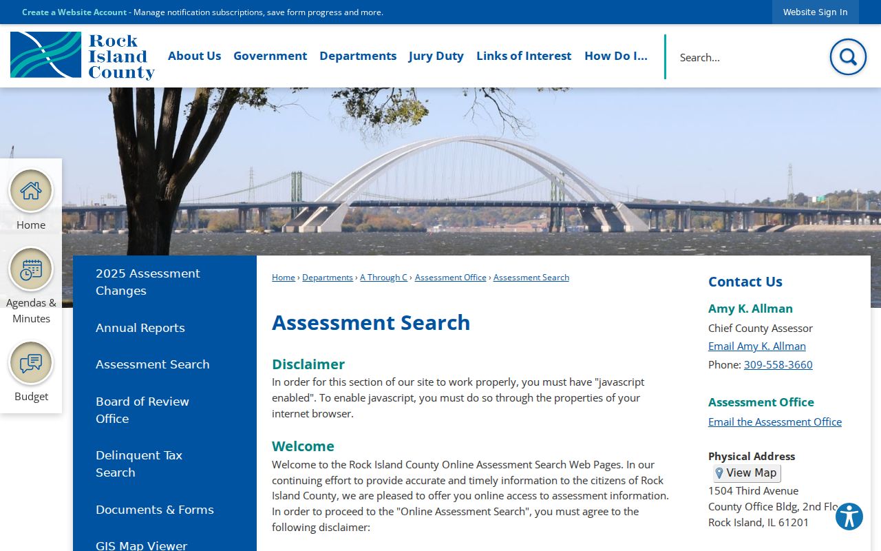
The screen confirms the official route and its access warning before a researcher enters the live parcel system.
Read East Moline Parcel Fields
A parcel card separates facts that are easy to blur. The site, or situs, address is the physical parcel location. The owner field is the assessment name. The tax-bill address is where correspondence goes. A legal description identifies the land through lot, block, subdivision, or other recorded terms. None of those fields, alone, proves who sleeps at the address.
- Parcel
- A separately assessed tract of land identified by a county PIN.
- Situs address
- The physical location assigned to the parcel, distinct from the tax mailing address.
- Plat
- A recorded map that divides land into lots, blocks, streets, and easements.
- Criss-cross directory
- A historical directory arranged by street and house number instead of only by surname.
The library parcel at 745 16th Avenue shows the difference. Its site is the library, its owner field names the East Moline Library Board of Trustees, and its tax mail goes to City Hall. Its legal description, Lots 22-28 in Block 170, supplies a deed and plat key. This one card disproves the common myth that an assessor owner must be a current resident.
Map East Moline Street Parcels
Rock Island County GIS maintains more than 65,000 parcel boundaries plus address ranges, zoning, aerial photography, taxing districts, school and fire districts, voter precincts, floodplain data, and E911 address layers. Its parcel query can search PIN, site address, tax-bill address, or owner name. The configured query uses a contains match, supports logical AND, and can expose an attribute table and export control.
The county-linked app was marked for retirement during research. Begin at the GIS Department page if an old bookmark stops working. The department counter is on the third floor at 1504 Third Avenue in Rock Island, and its phone is 309-558-3772. GIS also answers address and map questions.
The official GIS overview is shown below.
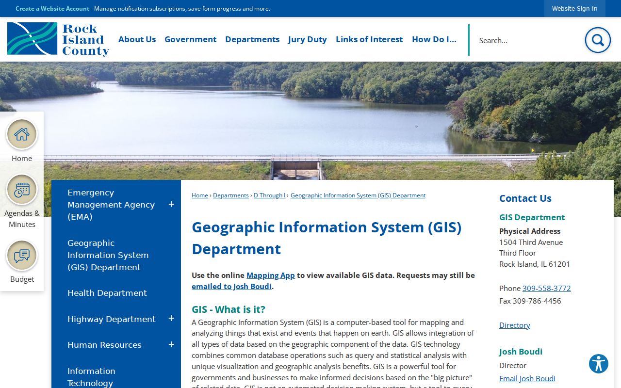
That source makes the core limit plain: GIS is useful for finding parcels and layers, but it is not a legal survey or proof of residence.
Note: Keep the map date, tax year, and parcel labels with every saved result because adjacent records may update at different times.
East Moline Street Record Layers
No single East Moline street directory contains every household. Each address-keyed source answers a narrower question. Property systems identify assessed parcels; deeds document recorded interests; permits date work; and voter lookup tests one supplied registration. Historical sources can show an earlier person at the same line, but only for the year printed.
| Record Set | Keeper | What It Shows | Access |
|---|---|---|---|
| Assessment card | County and township assessors | PIN, site, owner, mailing, legal description, tax year | Devnet or office inspection |
| GIS parcel map | Rock Island County GIS | Parcel lines, address, districts, aerial and nearby lots | Public viewer or GIS counter |
| Deeds and plats | Recorder of Deeds | Recorded transfers, liens, easements, lot and block | Laredo/Tapestry; counter, mail, fax |
| Voter confirmation | Illinois elections system | Match for a supplied person and address | Online form; no street roster |
| Building permits | East Moline Inspections | Permit type, status, dates, inspections when present | iWorQ, city counter, FOIA |
| Old directories | RICHS and regional libraries | Dated names and address lines | Research room, scans, librarian help |
The PIN and legal description form the strongest bridge. A street spelling can change, and parcels can split or merge. Current and prior PIN fields, plus lot and block terms, let a researcher carry the same land from GIS to the Recorder and then back into older plats or directories.
Two East Moline Assessors
An East Moline postal line does not decide the township. Relevant parcels can fall in Hampton or South Moline, so the township field on Devnet should guide the fallback call. The county Assessment Office remains the central public-record-card route and is open for inspection during county business hours.
Hampton Township
Jolane Leebold
209 19th Street, East Moline
309-755-8141
South Moline Township
Rick Mellinger
2515 53rd Street, Moline
309-736-0814
The official township assessor list is the source to check before visiting or calling.
Its published contact layout appears below.
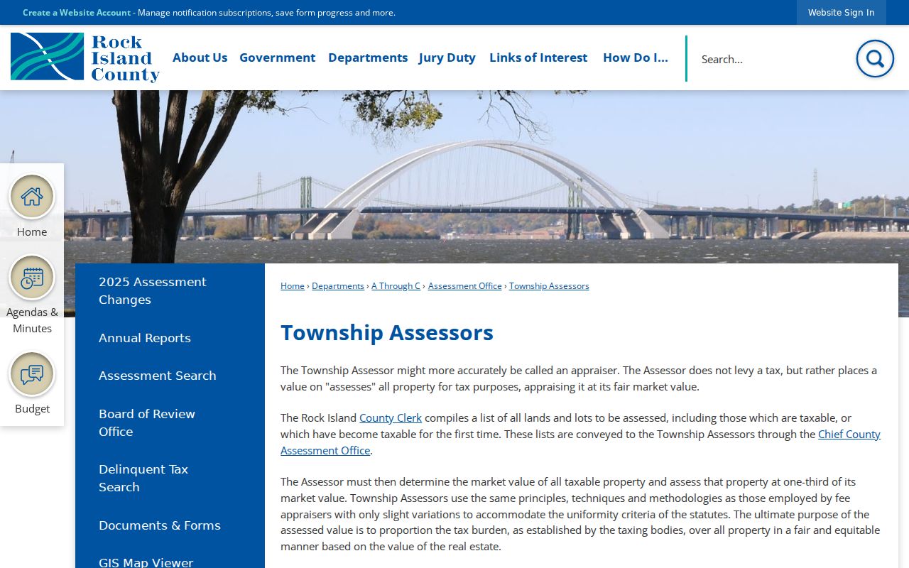
The list confirms that city, postal, and assessment geography must be kept as separate fields.
Carry East Moline Streets to Deeds
The Recorder of Deeds holds deeds, mortgages, releases, liens, easements, plats, surveys, and other recorded instruments dating to the mid-1800s. Start with the present assessment owner as a grantee, meaning the person or body receiving an interest. Step backward to the grantor, the party transferring it. Use the legal description when an address search breaks.
Laredo and Tapestry are the county-linked online routes, but their live fields and exact cutoff were not verified. The reliable fallback is the Recorder at 1504 Third Avenue, second floor, Rock Island, 309-558-3360. Staff do not give ownership, sale price, liens, lot size, or legal descriptions by phone. Requests can go in person, by mail, or by fax. The office lists $5 mail copies and $5 for the latest deed needed for a legal description; current fees should always be checked before ordering.
A whole-street project should log one parcel at a time: address, PIN, legal description, named party, instrument date, and source. That makes later comparisons possible without treating a map label as title evidence.
East Moline Permits by Address
Building records add dates to physical changes. The East Moline residential permit page describes permits and inspections, while iWorQ accepts existing-permit searches by permit number, primary contractor, and date. Address details may appear after a result. No public start year was stated, so an empty online result should not be called a clean history.
The city permit information screen is preserved here.
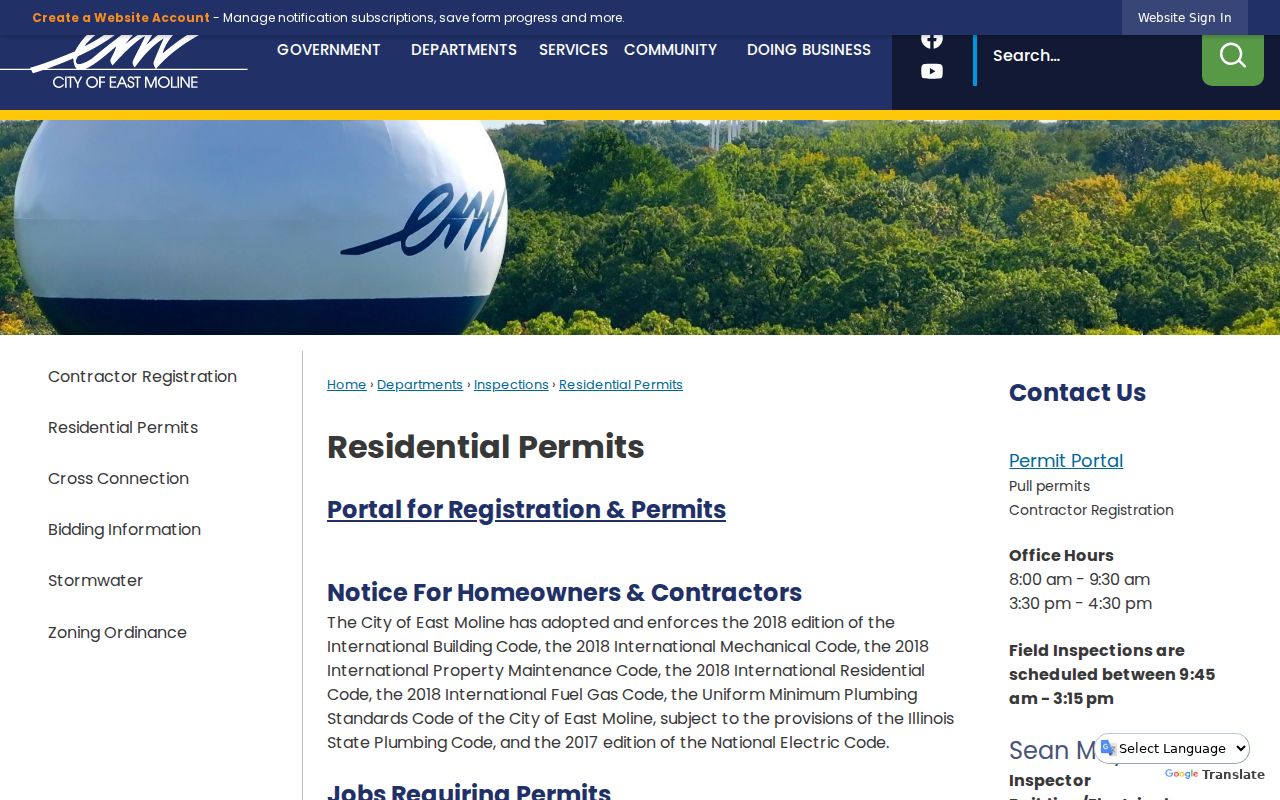
The page provides the municipal route for permit and inspection questions when the search portal lacks an older record.
The existing-permit source can also be checked at the East Moline iWorQ search.
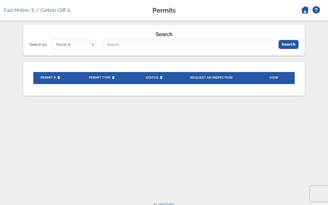
The visible controls support a focused permit check, not a promise that every historic project is indexed.
For missing municipal material, send a defined Illinois FOIA request with the department, address, record type, and date span. City forms route requests to Inspections, Engineering, GIS/Zoning, and other departments.
Older East Moline Street Names
Historical address work must preserve the words printed in the source. Watertown was platted in 1856 east of present 19th Street and voted to join East Moline in 1914. Port Byron Junction, also called Rock Island Junction, developed near present 9th Street and 14th Avenue around 1890. A newspaper or directory can therefore describe the right area under a name that differs from today's postal city.
No verified citywide street-renumbering table or renumbering year was found. Do not force an old house number into a modern parcel. Compare plats, legal descriptions, directory scans, GIS address points, the city archive, and Sanborn map context address by address. RICHS also holds city directories, plat maps, newspapers, and photographs.
Note: Record an old place name exactly, then add the modern East Moline interpretation as a separate, sourced conclusion.
Limits of East Moline Street Records
An East Moline street directory built from public records cannot provide a complete occupant list. The assessment card concerns a taxable parcel. Deeds concern recorded interests. GIS shows mapped features. A permit concerns work at a site. Illinois voter lookup requires a supplied person's details and does not release an open block roster. Renters, relatives, guests, and other household members may appear in none of these sources.
Address Confidentiality Program participants may use a substitute address, and protected voter details are restricted. Maps can also lag parcel changes or place a point approximately. Confirm a needed fact with the custodian, and never infer that nearby owner names are related or that a tax mailing address is a residence.
Lawful use. East Moline address records are for lawful personal research, such as family or property history. Never use them to stalk, harass, threaten, or harm anyone.
When the goal shifts from a parcel to one named person, use the East Moline resident lookup workflow and verify across independent official indexes.